Aneboda

Last changed: 02 June 2023

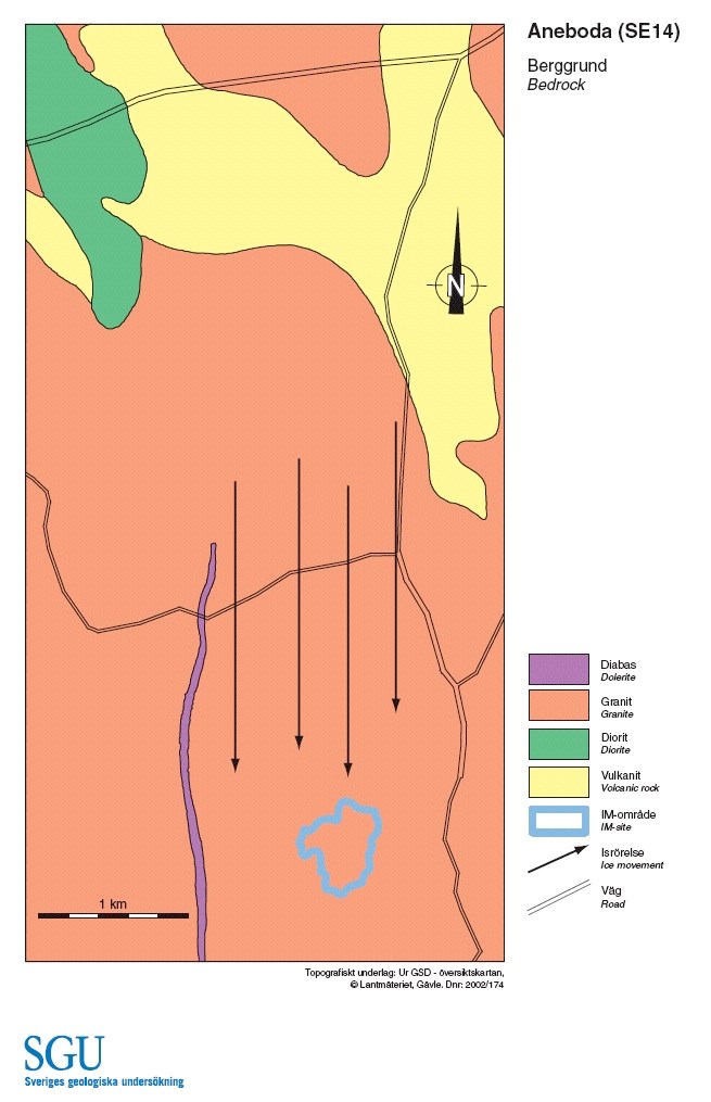
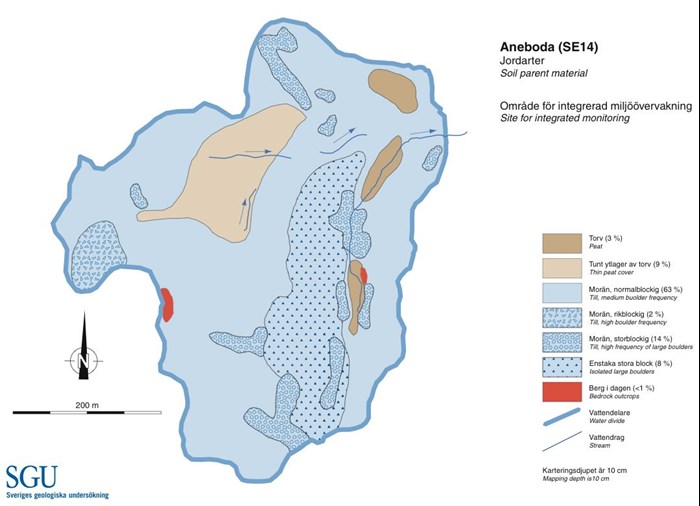
The IM site Aneboda is situated 28 km northwest of Växjö, roughly 10  kilometres south of Lammhult. The IM site is about one kilometre southwest of Aneboda church. The site and the nearby forest and bog are a nature reserve. The catchment was subject to hydrological research in the 1980´s conducted from the nearby IVL station. Vegetation and soil investigations within the PMK programme began in 1982, whereas the intensive studies of the whole ecosystem started in 1995. Since 2013 is Aneboda IM included in the field research structure SITES (SITES-Asa/Aneboda) funded by the Swedish Research Council .
Facts:

  • International code: SE14
  • Latitude/longitude: N57°07´, E14°33´
  • Swedish Grid: 633235/142395
  • County: Kronobergs län (G)
  • Municipality: Växjö
  • Land owner: State
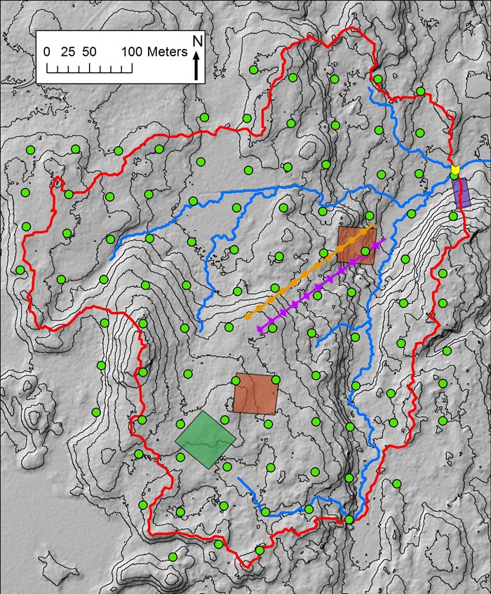
  • Size of catchment: 18,9 ha
  • Long-term average precipitation (not corrected)/: about 710 mm
  • Long-term average temperature: about +5,8 °C
  • Snow cover: about 110 dagar days
  • Length of vegetation period (mean temp. > +5°C): about 195 days
  • Biome/: Boreo-nemoral
  • Dominant vegetation type: Norway spruce - Vaccinium myrtillus forest
  • Dominant soil type: podsol
  • Bedrock: granite
  • Air pollutant deposition: moderate, N c:a 19 kg, S c:a 20 kg/ha/year/
  • Woodland for centuries and subject to grazing by cattle till the 1930´s. Probably clear-felled in the 1860´s and subsequently established spontaneously. Forest slightly thinned in the 1940´s and 1955.