Facts:
- International code: SE16
- Latitude/longitude: N63°51´ E18°07´
- National Grid: 708571/161410
- County : Västernorrlands (Y)
- Municipality: Örnsköldsvik
- Land owner: State
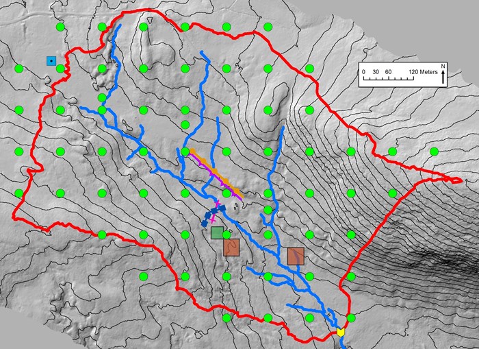
- Size of catchment: c:a 45 ha
- Long-term average precipitation (not corrected): about 750 mm
- Long-term average temperature: about +1,2 °C
- Snow cover: about 175 days
- Length of vegetation period (mean temp. > +5°C)/: about 145 days
- Biome: middle boreal
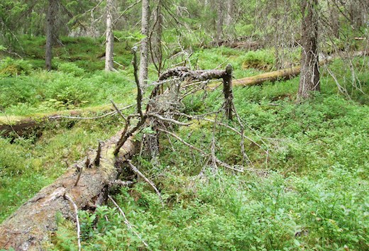
- Dominant vegetation type: Norway spruce - Vaccinium myrtillus forest
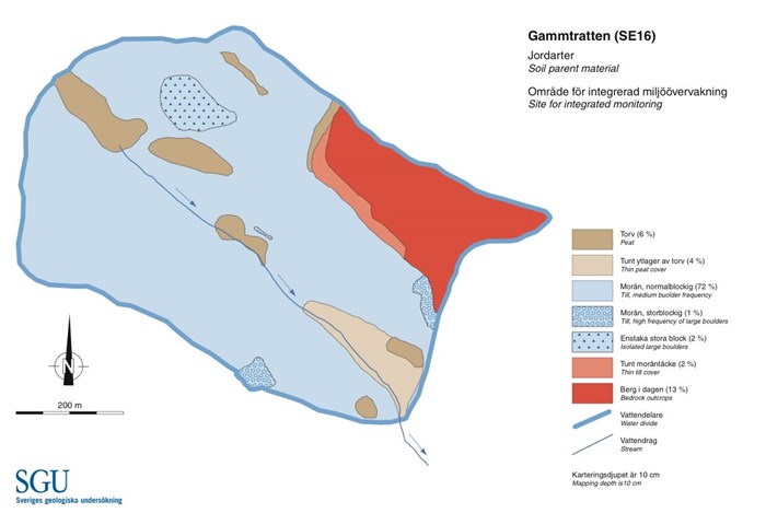
- Dominant soil type: Podzol
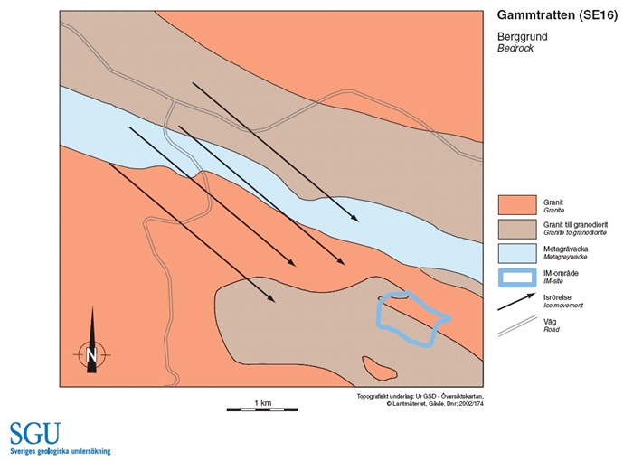
- Bedrock: young granite and pegmatite
- Air pollutant deposition: very small, deposition of N c:a 4 and S c:a 8 kg/ha/year
- Land-use history: Biggest trees felled around 1900. Light grazing by cattle up to the 1950´s.


