Contact
Anders Kinnerbäck, Environmental Monitoring and Assessment Analyst
Department of Aquatic Resources, Institute of Freshwater Research, SLU
anders.kinnerback@slu.se, +46 10 478 42 34

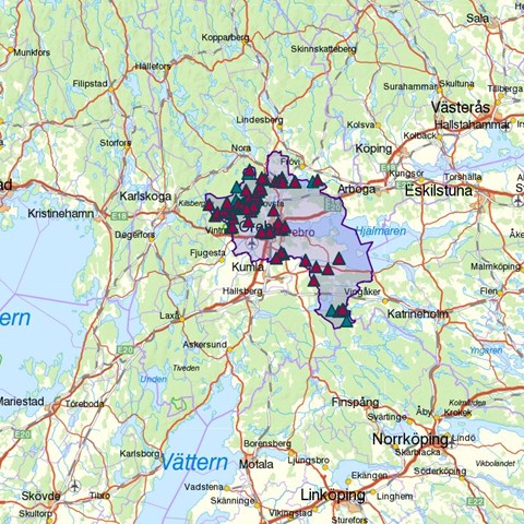
The possibility of searching for and downloading data from fish surweys in Swedish lakes, streams and along the coast has been supplemented with a new map service. The service makes it easy for end users to make searches based on specific areas.
The Department on Aquatic Resources (SLU Aqua) is hosting data from survey fishing in lakes, streams and coastal areas on behalf of the Swedish Agency for Marine and Water Management. This assignment includes receiving fishing data from performers all over the country, quality checking, storing and publishing data in the SLU website.
The data are stored in three different databases – NORS (lake fishing), SERS (electrofishing in streams) and KUL (coastal fishing). These data are open to the public and have been available in the website for many years.
The possibility for searching data has now been completed with a map service. From this service the data from all three databases can be obtained at the same time. Furthermore, a polygon tool makes it possible to create areas of interest to the user and search data within the polygon.
Link to map service: http://dvfisk.slu.se/
Anders Kinnerbäck, Environmental Monitoring and Assessment Analyst
Department of Aquatic Resources, Institute of Freshwater Research, SLU
anders.kinnerback@slu.se, +46 10 478 42 34