Who lived where? Spatial perspectives on the distribution of wealth in Stockholm 1715
Project overview
Participants
More related research
Short summary
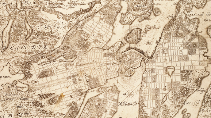
The project examines Stockholm's economic and social geography at the beginning of the 18th century. The aim is to spatially reconstruct and analyze housing patterns based on social affiliation, wealth/poverty, occupational categories in Stockholm 1715.
The project examines Stockholm's economic and social geography at the beginning of the 18th century. The aim is to spatially reconstruct and analyze housing patterns based on social affiliation, wealth/poverty, occupational categories in Stockholm 1715.
The project connects historical maps and excerpted data from wealth taxation in 1715, in a geographic information system (GIS) to spatially analyze the geography of wealth and poverty. Wealth taxation of Stockholm's population is a unique source and a peephole into early modern Stockholm and contains all households in Stockholm in 1715. All social classes are here included, from the Queen dowager to the poorest boatman, and it informs about wealth in real and movable property as well as in which quarter they lived, in some cases even which house. The spatial aspects of this distribution are analyzed in GIS with specific analysis tools for agglomerations and dispersion to identify segregation patterns.