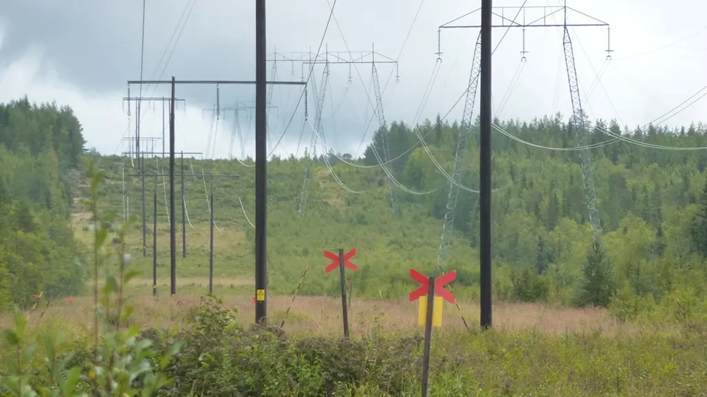
Monitoring of natural values in powerline corridors
SLU performs monitoring of grassland vegetation in powerline corridors. Areas that historically have been used for agriculture are especially species rich.
This is a complement to the nation-wide survey of powerline corridors with natural values for which the national electrical grid agency (Svenska kraftnät) themselves are responsible.
Powerline corridors can contain a wide variety of land types, but in this project we concentrate on corridors where there is active clearing of woody plants. A sample of landscape squares is present all over Sweden. To find the most interesting grasslands, we use mapping in aerial photographs. Also older aerial photographs can be used as a tool to identify sites with former agricultural land and a high probability to find grassland plants.
A complement to the inventory by Svenska kraftnät
Svenska kraftnät’s survey includes which plant species are present in the powerline corridor, and there are also experiments with different types of management to favour certatin groups of species.
SLU’s monitoring of natural values started in 2015 and is a complement to the existing survey. Monitoring data will give information about the vegetation and how it changes over time. This is important for estimating how the powerline corridors contribute to the natural values of the total landscape and how this is affected by region, management practices and the surrounding landscape. During 2024-2025, data analyses and evaluation will be made, and the data collection is temporarily paused.
This is how the inventory is done
The nation-wide sample consists of 2800 landscape squares, systematically placed areas with 3 km x 3 km size, where grasslands are mapped within the parts of powerline corridors managed by clearing of woody plants. The squares partly overlap with these used by, e.g., the Swedish Bird Survey.
The landscape squares and the plots of the sample are distibuted within an eight-year rotation, where an eighth of the sites are visited each year. This corresponds to the eight-year clearing cycle normally used by Svenska kraftnät. In each site, a number of plots are placed within the polygons that have been mapped as grassland vegetation in the aerial photographs. Vegetation variables and plant species are registered, with the same methods used in, e.g., Remiil.
Some of the field plots are also placed in the inspection paths used for inspection of powerline conditions. These paths are more intensively managed with four-year intervals and have been shown to better maintain biodiversity related to open grassland habitats.
Data
With each of the 3 km x 3 km in the sample, a GIS layer exists with polygons of grasslands and other open habitats within cleared corridors, and a linear object layer of inspection paths have been provided by Svenska kraftnät, and from these there are also plot data with vegetation variables and plant species. An additional sample also exists particularly from sites identified as especially valuable in the survey by Svenska kraftnät.
Contact
-
PersonAnders Glimskär, Researcher