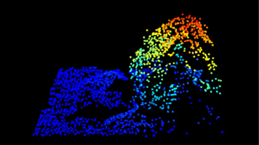
Improved forest inventories through 3D remote sensing technology
Data collected with the help of drones, airplanes and satellites can today give us a cost-effective and detailed monitoring of our forests, and thus a valuable tool in forest management. Using new technology and ...
... advanced computational models, these data can form the basis of a sustainable forest management that may include harvest planning, estimations of the capacity of forests to store carbon, and even biodiversity conservation. These are conclusions drawn by Ritwika Mukhopadhyay in a doctoral thesis from SLU.
--------------
“The methodology is not used in practice yet, but the technology is now mature and being evaluated in practice together with the forest industry”, says Ritwika Mukhopadhyay.
The state of Sweden's forests has been inventoried for more than a hundred years by The Swedish National Forest Inventory at SLU. In recent decades, remote sensing technology has developed significantly, and 3D data now takes forest inventory to the next level. Using techniques such as laser scanning, photogrammetry and radar, scientists can create detailed models of forested areas. This type of data can be collected by drones, airplanes and satellites, and the models make it possible to map the state of forests, as well as forest growth, with high precision. According to Ritwika Mukhopadhyay's thesis, these methods offer cost- and time-efficient solutions to monitor large forest areas and to manage resources more sustainably.
The thesis also shows that a combination of different data sources, such as dense and sparse laser scanning, can be used for more frequent updates of the state of forests. This offers good opportunities to improve planning within the forest industry, and to support climate change mitigation through better insights into the role of forests for carbon dioxide storage. Ritwika Mukhopadhyay also presents various statistical methods for evaluating the accuracy of forecasts based on 3D remote sensing data.
The technology not only enables more effective monitoring of forest resources. Ritwika Mukhopadhyay also sees possibilities to use it in biodiversity conservation. Her research thus indicates that 3D remote sensing will be able to play a central role in future forestry and contribute to sustainable solutions for the management and conservation of forest areas.
Key Insights
- 3D remote sensing enables detailed mapping of forest resources.
- The technology is cost and time efficient and provides good estimates of forest volume, biomass and growth.
- The research means good opportunities for improved potential for effective planning of harvesting operations and efforts to preserve biological diversity.
MSc Ritwika Mukhopadhyay, Department of Forest Resource Management, defended her doctoral thesis, Forest attribute prediction and mapping using 3D remote sensing data, on November 27 2024 at SLU in Umeå.
More information
Ritwika Mukhopadhyay, Doctoral Student
Department of Forest Resource Management; Division of Forest Remote Sensing
Swedish University of Agricultural Sciences, Umeå
ritwika.mukhopadhyay@slu.se