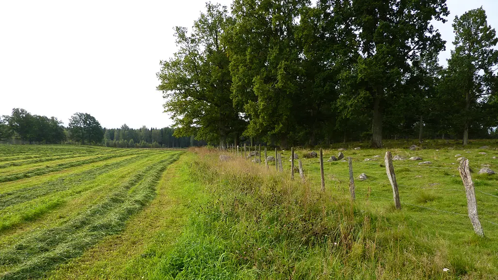
National monitoring of farmland biotopes
From 2023 onwards, a new nationwide sample for farmland biotopes in both arable land and pastures is monitored, in collaboration with the Swedish Board of Agriculture. This is based on the experiences from Remiil's farmland biotope monitoring, and the two programmes complement each other.
How the monitoring is done
Comprehensive mapping is done in both aerial photos and in the field, within squares of 1 km x 1 km. A smaller square size is used compared to Remiil, and instead the sample contains more squares, in order to obtain more reliable results for individual regions and subtypes of small biotopes.
All arable land and pastures are mapped in aerial photos, and in addition, linear objects and field islets located within arable land are mapped, as they can have a particularly important function in increasing the variation of habitats for plants and animals in arable-dominated landscapes. An advantage of taking in more information from aerial photos is that it is more reliable to make statements about real changes by comparing aerial photos from two different times.
The field inventory serves as a complement to aerial photo interpretation. It also maps biotopes that may be difficult to see in aerial photos, and more variables are included that describe the character and condition of the farmland biotopes.
The following biotope types are included:
• Farm islets, ponds and small wetlands
• Ditches
• Stone walls and cairns with clearing stones
• Vegetation strips and farm roads between arable fields
• Meadow barns and other agricultural buildings outside the farm environment
Data
Data are available from 2023 in basic format as GIS layers. From aerial photos, polygons for arable land and pastures are available. GIS layers for biotope objects are available in different GIS formats depending on the type. Data can also be produced as tables with variable data (attributes), areas and lengths for arable land, pasture and biotope objects.
Contact
-
PersonAnders Glimskär, Researcher