Kulbäcksliden Experimental Forest
Kulbäcksliden Experimental Forest is a central site for forest research and climate monitoring in northern Sweden.
Experimental Forest
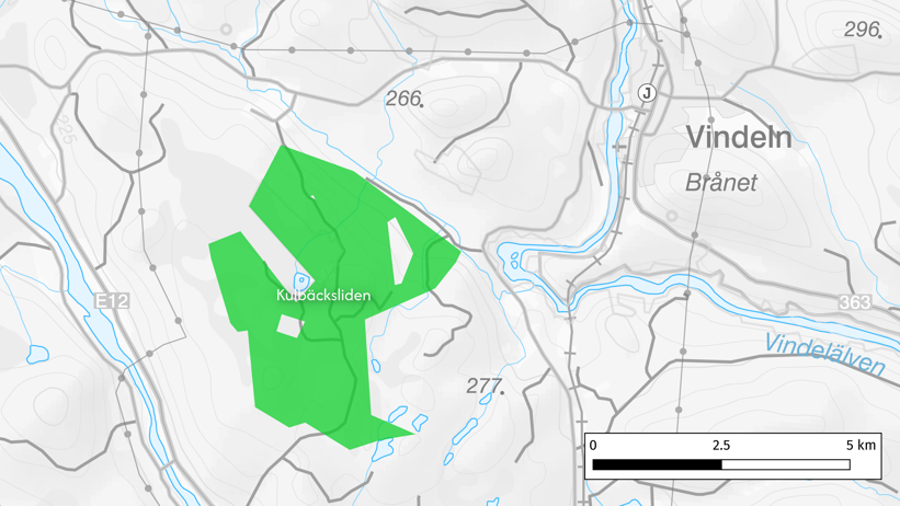
The Kulbäcksliden Experimental Forest was established in 1923 as a complement to the Svartberget Experimental Forest, since Svartberget was not considered fully representative of northern Swedish forest conditions. The park is located on the watershed divide between the Vindeln river and the Umeå river, approximately 11 kilometers west-southwest of Vindeln, and today covers about 1,400 hectares.
Forest and Nature
The experimental forest spans elevations from 160 to 320 meters above sea level and is dominated by Scots pine and Norway spruce. The area also includes Degerö Stormyr, a key research site for studying mire ecology and greenhouse gas emissions. Historically, the park has been used for regeneration trials and controlled burning, traces of which are still visible in the landscape.
Research and Climate Monitoring
Kulbäcksliden is an important site for field-based research in forestry, ecology, and climate science. Permanent stations are in place to monitor runoff, water chemistry, and climate change. The climate station records air and soil temperatures, precipitation, snow depth, and global radiation - supporting long-term studies on the development of forest ecosystems.
Cultural Heritage and Visitor Access
Flakastugan, built in 1923, once served as lodging and laboratory for researchers. Today, it is no longer in active use but remains a rest stop during forestry excursions. Visitors can also explore a 2.2-kilometer nature and forest trail called the “King’s Trail” (Kungaspåret), where educational signs share insights about local and forest history, wildfires, wildlife, charcoal production, tar making, and forest research.
Contact
-
PersonCharlotta Erefur, Head of UnitUnit for Field-based Forest Research