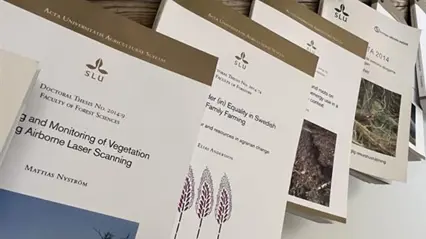
Publications in Forest Remote Sensing
Here you can find the latest publications in forest remote sensing through SLU’s publication database (SLUpub).
Projects
Key collaborative projects in forest remote sensing
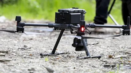
Remote Sensing Technologies
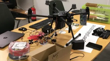
Remote sensing tools collect information about objects or areas from a distance without physical contact. Learn more here about the technologies used by our division.
GIS-support
The GIS support aims to support and strengthen the use of spatial data and geographic information systems/technology (GIS/GIT) within SLU.
Ljungbergslaboratoriet - a 3D remote sensing laboratory
Ljungbergslaboratoriet serves as a resource for the collection and processing of remote sensing data. It also acts as a meeting place for students, researchers, and industry partners.