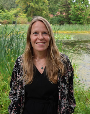
Pia Geranmayeh Oromieh
Presentation
How do we implement the right wetland in the right place? With the right design and location, wetlands can reduce nutrients and high flows, store water for dry periods, store carbon, and promote biodiversity. However, a single wetland can’t do all of this, therefor more knowledge is needed about possible synergies and conflicts between goals. Society needs help with effective policy tools, risk assessments, balancing conflicting goals and design criteria, management advice, and mapping tools that can make action work more efficient. My vision is to help with this!
I have a PhD in soil science with focus on water quality management. I evaluate measures to mitigate nutrient losses from agricultural land to waters. Specifically my research is focusing on how good design and placement of constructed wetlands increase their efficiency in retaining nutrients lost from fields. We also deleope tools that will help implementation of cost-efficient wetlands and creation of a multifunctional wetlandscape. In addition I assess the wetland governance and financial systems.
Research
My current research includes:
- Evaluating the long-term purification capacity, maintenance needs, and multifunctionality of phosphorus ponds
- Improved design of wetlands for high nutrient retention
- Climate impacts of wetlands
- Synergies and trade-offs between wetlands' ecosystem services
- Evaluating the effect of retention basins on downstream water quality, hydrology and greenhouse gas emissions
- Needs for coordinated measures
- Institutional barriers and solutions for effective implementation of measures
- Citizen science for wetlands' recreational value and ecosystem services
Research projects
Environment analysis
Mappingtool
We have developed maps to make it easier to implement the right wetlands in the right place and increase their nutrient retention capacity.
In the Story Map 'The Potential of Wetlands', we illustrate where there are high nutrient levels and what size is needed to achieve high nutrient retention. It's a web tool that covers the whole area of Sweden, where anyone can zoom in without any GIS knowledge.
GIS files for download are available here.
Teaching
MOOC
I created a online course on how to implement multifunctional wetlandscapes. The course is in Swedish and the link can be found on my Swedish site.
MSc-courses
I am one of the courseleaders for the course Projekt Vattenresurser MV0189 for civil engineers.
I am also teaching in:
MV0190 Vattenresursteknik.
MV0217 Land use and watershed management to reduce eutrophication
MX0145 Models for sustainable water management
Citizen Science
Do you want to help gathering data and learn more about wetlands?
Join our citizen science! Read more here.