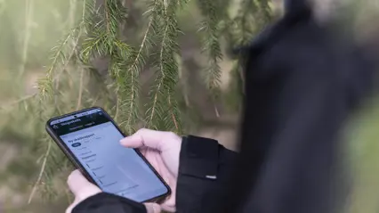
Skogsskada - Report Tool (swe)
Skogskada is a web-based tool for reporting and identifying forest damage. The tool helps to describe the damage situation in Swedish forests and can be used as a knowledge bank.
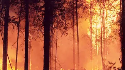
Fire Risk maps
The Swedish Civil Contingencies Agency (MSB) provides fire risk maps. They consist of three maps - spread, fuel drying and grass fire risk.
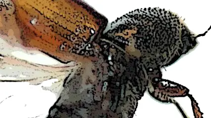
Spruce bark beetle forecast
The tool calculates the approximate timing of the start of swarming in the spring, as well as when the next generation is expected to be fully developed and ready to swarm, in relation to this year's weather.
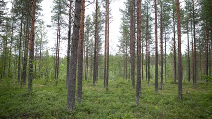
Forest management with Heureka
The Heureka system is a forest decision support system developed at SLU which allow users to conduct long-term future analyses of Swedish forests and forestry.