Contact
Department of Forest Resource Management, Division of Forest Remote Sensing

Rubén Valbuena is a professor of forest remote sensing since 1 January 2022. His inauguration lecture has the title "Measuring the complexity of forests by firing laser beams from planes and satellites".
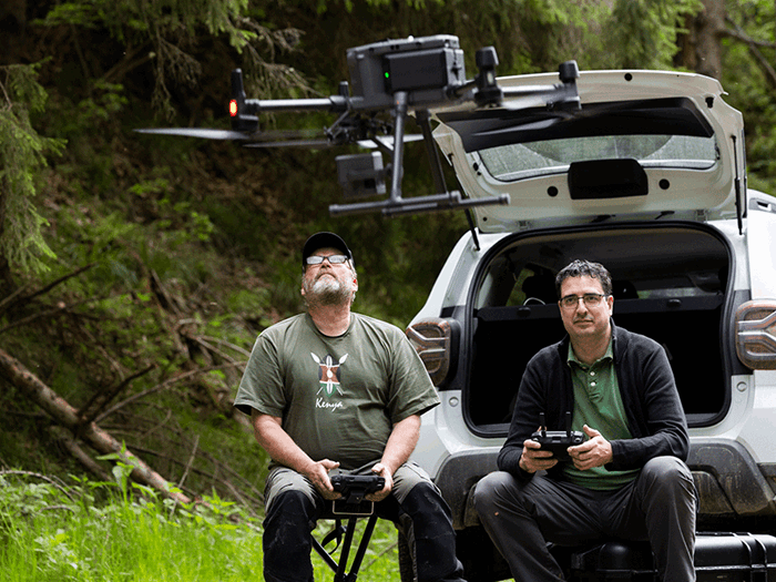
Rubén Valbuena explores the state of ecosystems, and how they change, using data from sensors on satellites, aircrafts and drones. His focus is on forest landscapes and airborne laser scanning, which he uses to analyse carbon sequestration, biodiversity and other ecosystem services. He also works on monitoring progress in international policies tackling climate change and biodiversity loss, by developing methods that can be used worldwide.

Please indicate the photographer's name when using these images.