For a number of years our department has had a fruitful collaboration with the International Center for Tropical Agriculture (CIAT) in Kenya. It started with one project and has expanded with additional activities within the subject areas of proximal soil sensing, digital soil mapping and pedometrics.
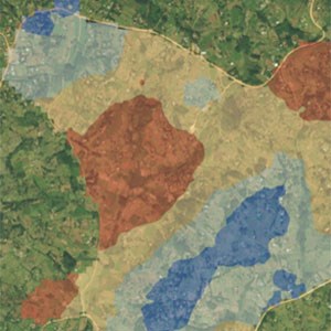
The aim of the first project was to develop decision support for sustainable intensification in smallholder farming systems in East Africa. That means to provide individual farmers and extension officers with soil information of relevance for their management decisions, such as risk maps for low pH or micronutrient deficiencies.
The same type of data is also needed at regional and national level; fertilizer companies need to know which blend to sell in each county and policy makers need soil data to support decisions e.g. on subsidies on agricultural lime products. In recent years, the mitigation of climate change and the improvement of soil fertility by sequestering carbon in the soil has become a hot research topic. Authorities and organizations at multiple levels asks for data on how much carbon can be put back into the soil, where the potential sequestration is the largest and by which agricultural practices are most effective for this specific purpose.
In short, there is an increasing need for spatial data on soil properties at multiple scales and together with CIAT we work on the pedometric issues related to soil sampling, soil analysis, mapping, evaluation of data products, how to transfer data across spatial scales and how to communicate data to the end users.

