Engineering and technology
Technology is the collection of techniques, skills, methods and processes used in the production of goods or services or in the accomplishment of objectives, such as scientific investigation. Technology can be the knowledge of techniques, processes, etc. or it can be embedded in machines, computers, devices and factories, which can be operated by individuals without detailed knowledge of the workings of such things.This includes e.g. civil engineering, mechanical engineering,environmental engineering and environmental biotechnology.

Diss Niina Sundin
Sustainability of food waste prevention through food consumption charlotta.eriksson@slu.se Niina Sundin defends her thesis "Sustainability of food waste prevention through food consumption" on
Publications
Here you will find publications published by the Department of Forest Resource Management. You can find more publications from the department at SLU's publication database, SLUpub.
Forest Planning
Forest planning deals with decision making concerning the future development of the forest. When, where and how will silviculture and harvesting be applied on a forest holding or in a landscape in
Diss Ebba Perman
Challenges associated with high-solid anaerobic digestion - Down-scaling, plug-flow behaviour and ammonia inhibition charlotta.eriksson@slu.se Ebba Perman defends her thesis "Challenges associated
Diss Mahlet Demere Tadesse
Implementation of digital technologies in logistics systems of low-income countries An assessment based on case studies in Ethiopia charlotta.eriksson@slu.se Mahlet Demere Tadesse defends her
Other activities
Our activities include seminars, workshops and field trips that aim to enrich our students knowledge and promote networking with other researchers, society and industry. We have joint activities with
Publications
Here you can view publications within the subject area of Forest Remote Sensing. To view all publications at SLU, visit the publication database. 2023 Doctoral Theses Axelsson, A. (2023) Tree Species
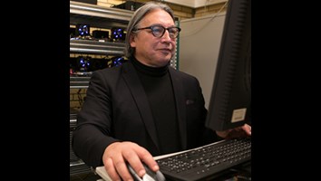
Erik Bongcam-Rudloff
Erik Bongcam-Rudloff is a professor of bioinformatics since 1 March 2017. His inauguration lecture is about the bioinformatics revolution that transforms our lives. Erik Bongcam-Rudloff's work

Courses
Within our PhD-courses we offer participating students broad knowledge and insight in the field of sustainable systems of food, energy and biomaterials systems. The courses typically include
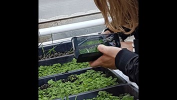
Contribute to future crops – learn to understand phenotyping
Phenotyping is important for modern plant breeding. With this technique, a large quantity of traits can be measured and new varieties can be developed faster. The plant breeding industry needs people
National forest estimates
An important part of remote sensing is to continuously develop methods for producing national raster databases with estimated variables. An part of the remote sensing activities is to develop methods
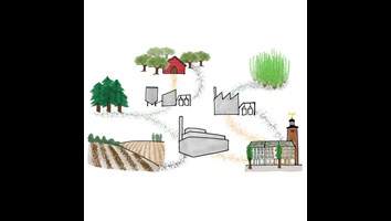
Biochar systems
Biochar is the carbon rich material produced from biomass which has large potential to provide negative greenhouse gas emissions as a stable carbon stock in soil, alongside other climate and