The catalogue of measures
-
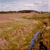
Buffer zones along waters
-
Constructed wetlands

-
Controlled drainage
-
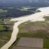
Floodplains
-
Gypsum as soil amendment

-
Nutrient application planning

-
Rehabilitation of land reclamation facilities
-
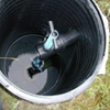
Renovation of drainage systems
-
Structural liming
-
Subsurface constructed wetlands
-
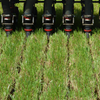
Subsurface manure application
-
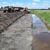
Two-stage ditches