SLU news
Interactive map
Published: 09 July 2018

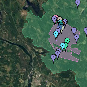
Svartberget has just launched an interactive map of infrastructure at the station. The map is currently in development but is quickly gaining features.
The new interactive map uses the Google Maps API for a relatively up-to-date base map with alternatives to switch between satellite imagery, terrain view and a hybrid view. Currently the available layers show only some of the infrastructures, but this is being expanded as we gather more accurate GPS data. The layers will be available to download for users registered in the safe deposit at a future date!