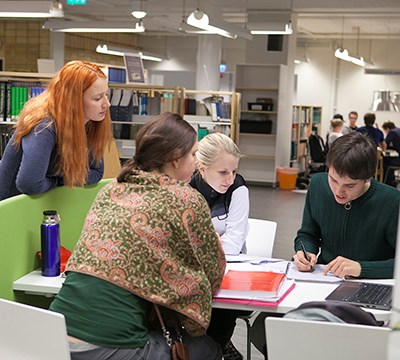
Our department provides courses in Remote Sensing and Geographical Information Technology (GIT), Forest Inventory, Forest Panning, Forest Mathematical Statistics and Organization and Leadership.
You can take the courses as a part of SLU's forestry programs or as individual courses. The Department is also responsible for the activites in the Ljungberg's Laboratory.
Bachelor's level courses
- Applied Remote Sensing in Forestry
- Forest Planning
- GIS and Forest Remote Sensing
- Management Control Systems
- Mathematical Statistics with forest applications
- Planning and analyses of forest ecosystem services
- Planning and analysis with the Heureka system
Master's level courses
- Advanced Spatial Modelling through GIS
- Forest Remote Sensing
- Forest Sustainability Analysis
- Forestry From an Organizational Theory Related Perspective
- Geographic Information Technology II
- Remote Sensing and Forest Inventory
Search for courses at SLU
Ljungberg's Laboratory
The Ljungberg's Laboratory is a resource for assembling and analyse of remote sensing data, and a meeting place for students, researchers and companies.
Webbpage for Ljungberg's Laboratory
